Precision Aerial Mapping & Imaging on Vancouver Island
Unlock new perspectives with professional drone services tailored for mapping, surveying, and high-quality aerial imaging.
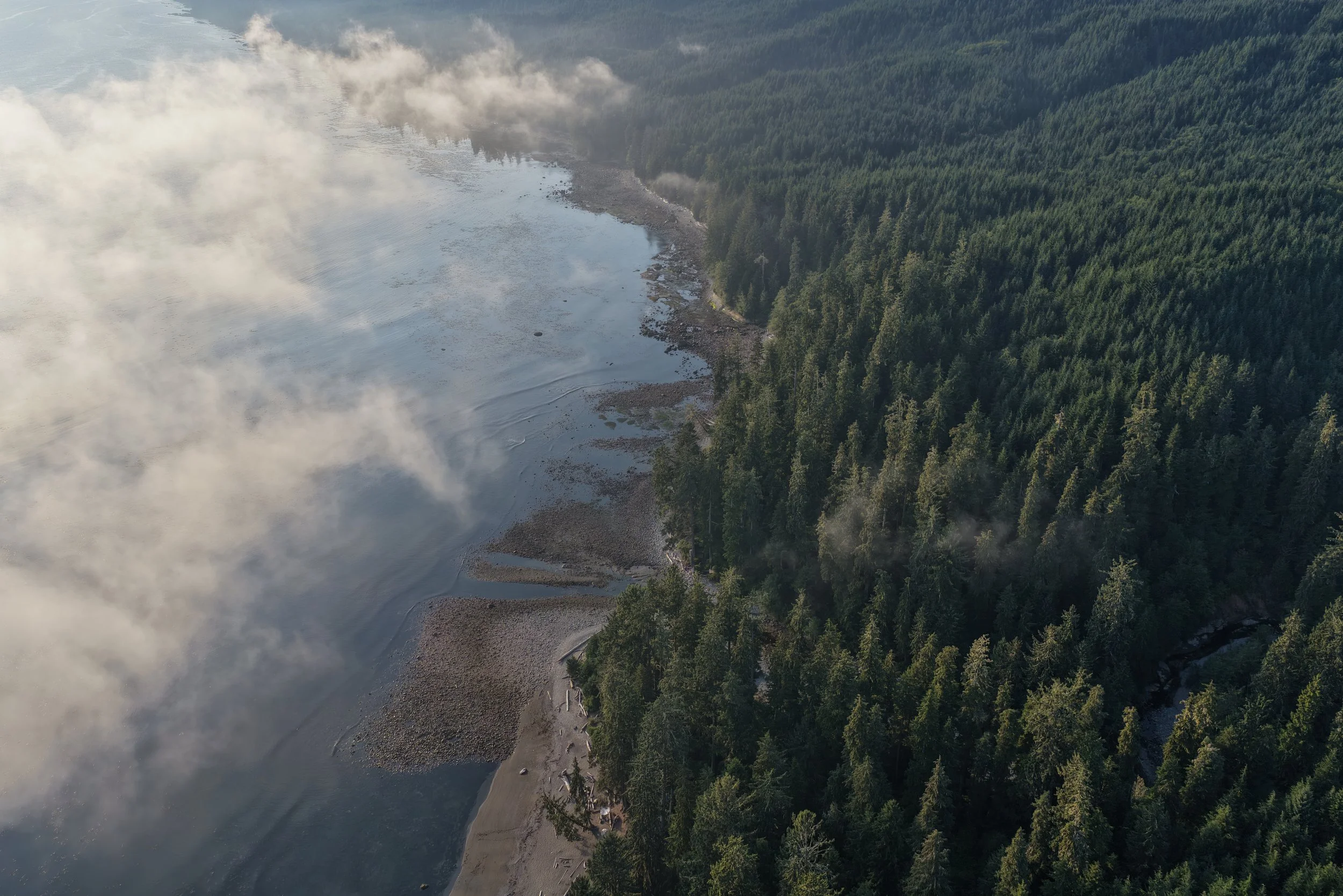
3D Mapping & Surveying – Accurate, detailed, geo-referenced data.
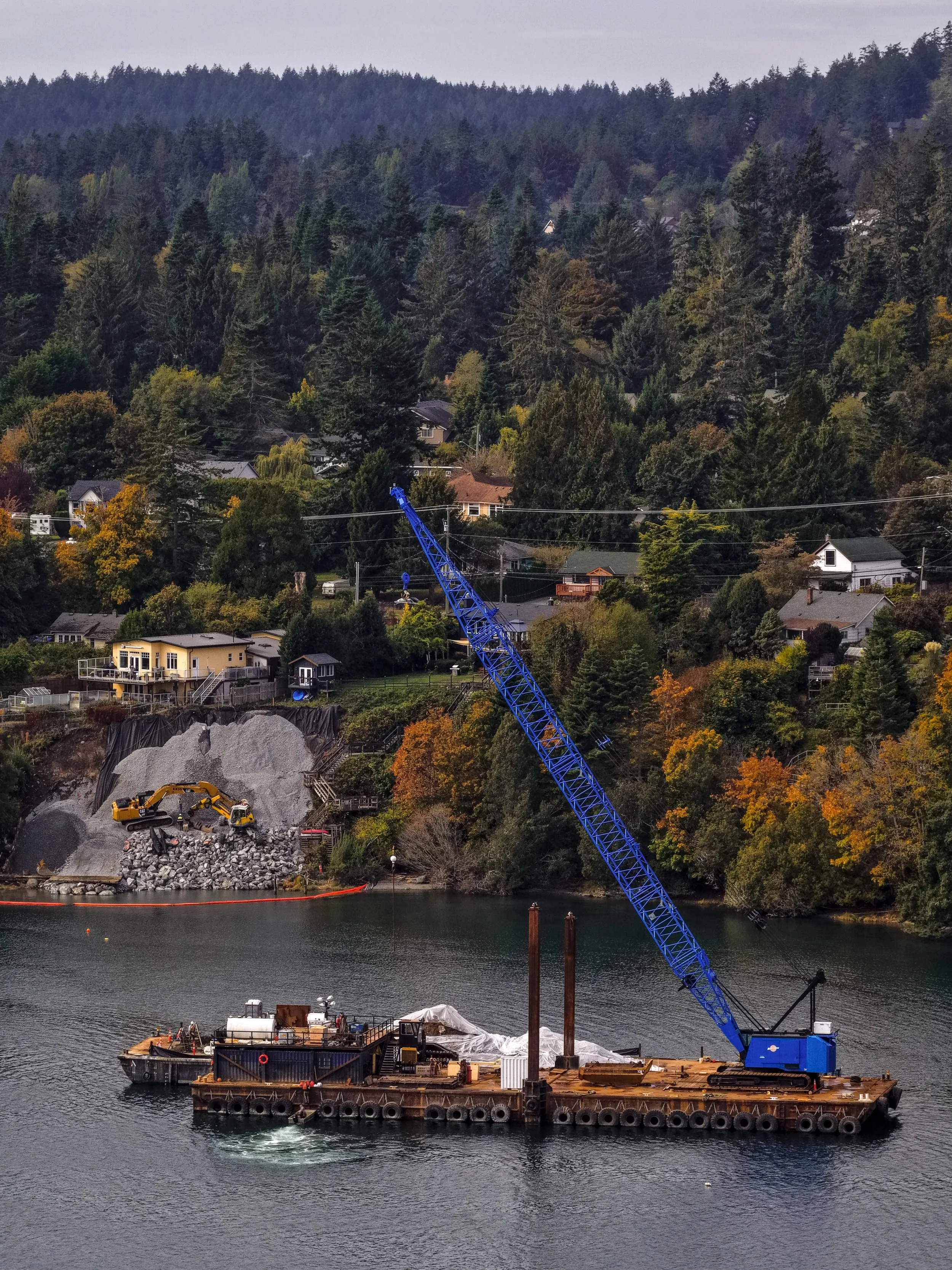
Construction Progress Tracking – Consistent aerial updates for reliable reporting.
Real Estate Imaging – Showcase properties with cinematic aerial views.
Custom Drone Solutions – Tailored flights for inspections, events, and more.